on the roof of Africa

card BRIGITTE ROTTER, self-published, Munich - Kilimanjaro Trekking Map 1:50,000
Directions from Moshi to Arusha by road to the turnoff to the Machame Gate. On the road through coffee plantations and villages to the park entrance.
base Machame Gate (1820m)
General For Tour 6 days schedule, are required along with great footwear wind-and waterproof clothing (down to -20 ° C), sleeping bag and sleeping pad. Of technical equipment can be dispensed on the Machame route.
A tour of Kilimanjaro may not be carried out independently. We have our friend and guide Michael Gitchigo trusted and were once again very pleased. Snow Peak Tours & Travel
back to overview Tanzania


Directions from Moshi to Arusha by road to the turnoff to the Machame Gate. On the road through coffee plantations and villages to the park entrance.
base Machame Gate (1820m)
General For Tour 6 days schedule, are required along with great footwear wind-and waterproof clothing (down to -20 ° C), sleeping bag and sleeping pad. Of technical equipment can be dispensed on the Machame route.
A tour of Kilimanjaro may not be carried out independently. We have our friend and guide Michael Gitchigo trusted and were once again very pleased. Snow Peak Tours & Travel
back to overview Tanzania


Day 1 Machame Gate - Machame Camp

Description From Machame Gate (1820m), first on a wide road through the rain forest and continue on track, but often wet road sometimes steep, sometimes just to the north along the creek Makoa. Shortly before reaching the camp, the vegetation changes quite abruptly and goes from the rainforest in the high moor. The Machame Camp is located at 3020 and are in good weather a clear view to the summit.
rise time 4-5h 1200hm

2nd day Machame Camp - Shira Camp

Description first ever along the ridge through some thick bushes growing small to a higher plateau, which is used for many for lunch. Further along the ridge and in a wide curve to the left on the Shira plateau. From the edge of the plateau, some losing altitude in a few minute drive to the beautifully situated Shira Camp (3840m). Often you can see Mt Meru, with over 4600m the second highest mountain in Tanzania.
rise time 3-4h 850hm
rise time 3-4h 850hm


Day 3 Shira Camp - Lava Tower - Barranco Camp

Description The following in a pleasant way east slope and the ridge-location with wonderful views, in part, on boulders at the foot of the Kibos. The Lava Tower (4630m) is surrounded, then at the beginning of steep, relatively flat to descend. Framed by lobelia and Senezien the path leads eventually to the steep Barranco Camp (3985m).
rise time 6-8h 800hm


 camp on Lava Tower
 Barranco Camp Day 4 - Camp Barafu
 Description From the camp the trail leads to Ostenzur Barranco Wall, the most demanding stretch of the entire route. In an hour, climb through the rocks easier Kraxelei (max I) for Umbwe Köpfl (4245m). Now the path leads to repeated up and down to Karanga Camp (3920m), where is the last water point. From the camp through rubble and debris upward from the edge of the Kibos along the exposed Barafu Camp (4645m). In the East, now brings rock bastion of Mawenzi into view (5148m).
rise time 6-7h 1000hm
 Description From the camp the trail leads to Ostenzur Barranco Wall, the most demanding stretch of the entire route. In an hour, climb through the rocks easier Kraxelei (max I) for Umbwe Köpfl (4245m). Now the path leads to repeated up and down to Karanga Camp (3920m), where is the last water point. From the camp through rubble and debris upward from the edge of the Kibos along the exposed Barafu Camp (4645m). In the East, now brings rock bastion of Mawenzi into view (5148m).
 rise time 6-7h 1000hm
 Barranco Wall

Barafu Camp Day 5 - Uhuru Peak (5895m) - Mweka Camp

Description begins at midnight, the steep rise of distinct debris fields, which results in a good 5-6h to Stella Point (5745m) where we reached the crater rim . Then west along the crater rim still good 150hm overcoming the Uhuru Peak (5895m), the highest point of the Kilimanjaro massif. The descent is via the ascent route, where people can walk from Stella Point "exit" down the many gravel channels. From Barafu camp the trail continues south to the Upper Mweka Camp (3830m) and on through the increasingly dense vegetation to Mweka Camp (3100m). In the office of the camp soft drinks and beer are available.
7h 1250hm ascent (descent 7h, 2800hm)
7h 1250hm ascent (descent 7h, 2800hm)


 penitents on the crater rim

Day 6 Mweka Camp - Mweka Gate

Description re-immersion into the rain forest, the trail follows the reaches of the Rivers Charango anch south, and finally back into a broad, muddy track überzugehn, which eventually leads to Mweka Gate (about 1700m) .
descent time 2 1 / 2-3h
descent time 2 1 / 2-3h


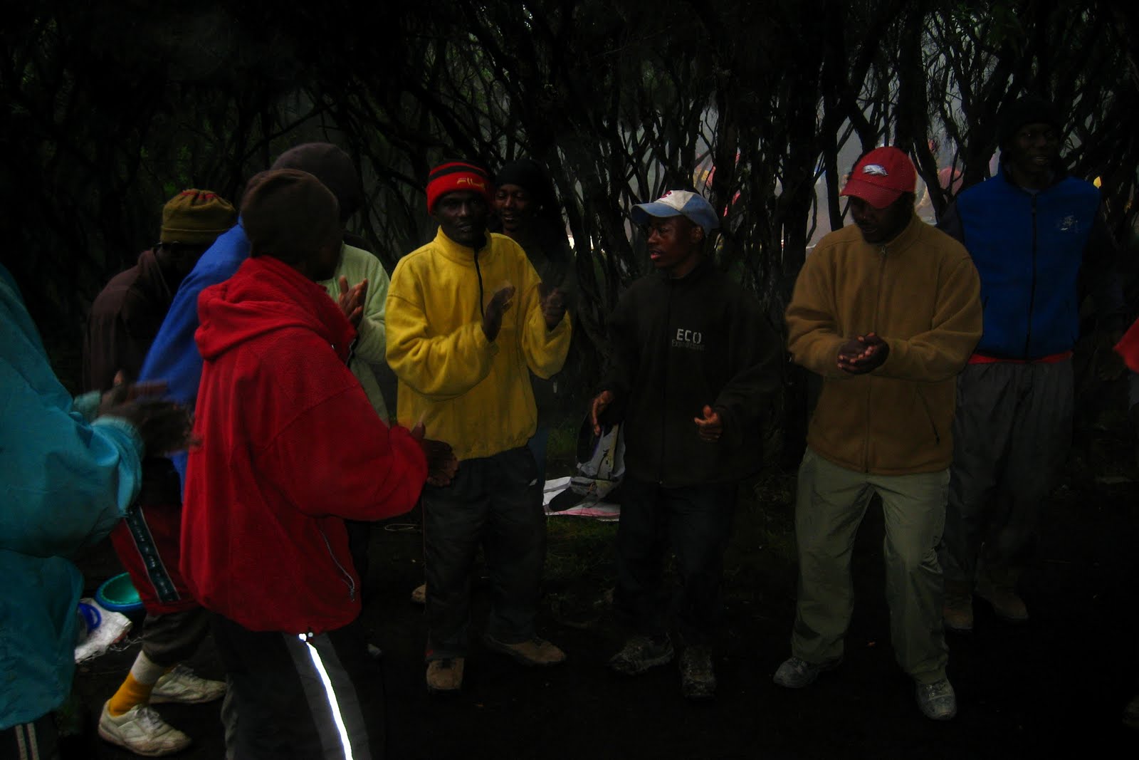 farewell to our team